Navigational Chart Danube River 47mb, March 2023 |
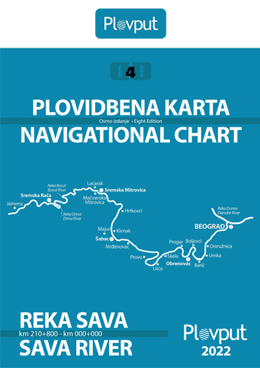 Navigational Chart Sava River 23mb, March 2023 |
 Navigational Chart Tisa River 18mb, March 2023 |
 Atlas of Berths 8mb, June 2019 | ||
To see the map in the appropriate format it is necessary to choose the following options in Adobe Reader: • View / Zoom / Zoom to Page Level • View / Page Display / Two Page View • View Page / Display / Show Cover Page in To Way View | ||


- 19.06.2023.General repairs of the Serbian lock Iron gate 2In the period from July 18, 2023 to July 17, 2024, the Serbian lock Iron Gate 2 will be out of use because of general repairs....
full story - 30.12.2020.New Electronic Navigational Charts for the Danube RiverPlovput published new Electronic Navigational Charts for the Danube River in Inland ECDIS standard 2.3....
full story - 30.12.2020.Plovput published Navigational Chart of the Sava RiverThe sixth edition of the Navigational Chart of the Sava River available at the internet presentation of Plovput...
full story - 30.12.2020.Plovput published the new edition of the Danube River Navigational ChartThe eight edition of the Navigational Chart of the Danube River available at the internet presentation of Plovput...
full story